Scale of Development – a Walk around the Berkeley Cluster

This walk is a long one. Why? Because the theme this week is the sheer scale of the housing that is planned here. Over 5,000 houses need a lot of green field space, right?!
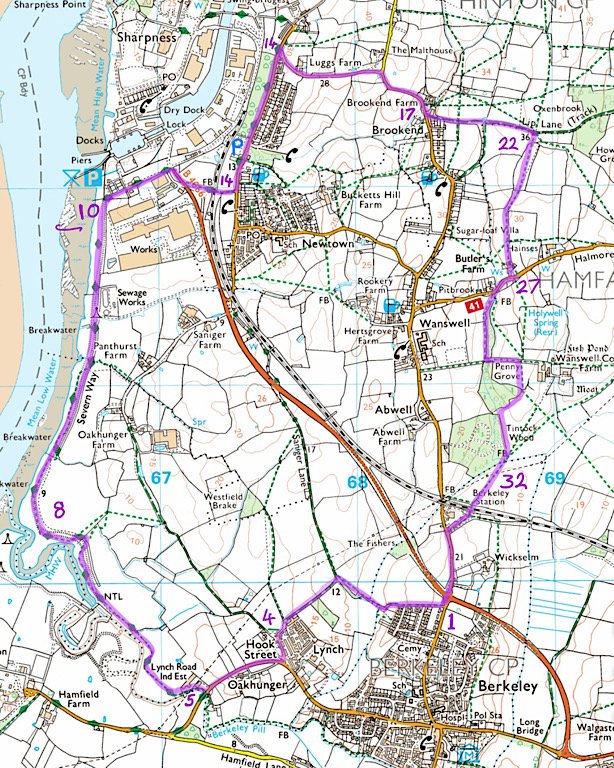
Below is the map that shows the extent of the development. This has been put together by BaSRAG and hopefully gives you some idea of the magnitude.
I have begun this walk in Berkeley but this is a CLOCKWISE circular walk and can be started from the car park of Sharpness play park opposite the village hall, or indeed anywhere along the route.
If starting from the Sharpness play park’s car park, start at direction 14 below (go left along Oldminster Road).
Distance: The walk is just under 7 miles and it should take around 2.5 hours.
State of the paths: There are areas of the walk that can get extremely muddy with puddles in winter and need wellies but do dry out before summer. This May has been very wet but the only tricky path remaining is at the bottom of the Old Lane down from Station Road , Berkeley (between 1 & 4 on the map). But on Friday 28th May 2021, this was walked with leaky walking shoes – got muddy shoes but not wet feet. This will dry out quickly if the weather remains dry.
For ease, the walk map is shown again between directions 18 &19 below. You may also find it handy to save/download the map to your phone/photos.
1. Start just before the Station Road/bypass roundabout north of Berkeley. Where you see a footpath sign, follow it down the track to your left.
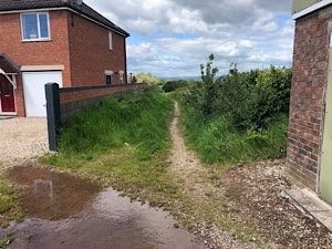
2. Follow this footpath along the boundary of the fields to your right. Go through the gate on your right when you come to a small stream and wood in front of you.
Turn left through the gate to follow the boundary of the field. Just before you hit the corner of the field, there is a blink-and-you’ll-miss-it opening in the left hedgerow.
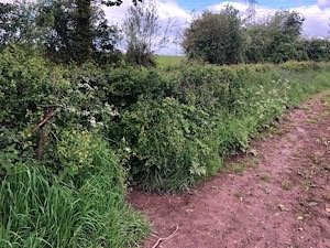
3. Go down left through the gap and you’ll find yourself being offered a choice of paths, straight on or right. Choose straight on. (Going right you could take Sanigar Lane up to Sharpness via a quicker route if you so desired.)
Walk along the bridle way until you reach the white bungalow on your left and another gate to a field on your right. (Through this gate there is another quicker route to Sharpness.)
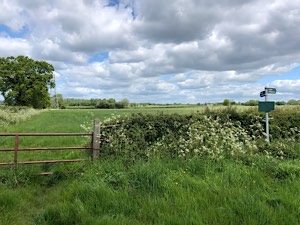
4. Continue on straight and onto the road as it bends around to the left, passing Berkeley Vale Park on your left. Walk to the end where Hook Street meets Lynch Road and turn right.
Walk along Lynch road until you are just past the entrance road to Scott-Law on your right. Just before the bridge you’ll see a path and Severn Way footpath sign down to the right. Take this path.
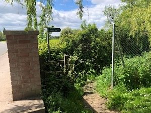
5. You’ll now be following the meanderings of Berkeley Pill on your left.

6. Follow this footpath until you pop out into a field with a lot of sheep – and a few lamas! Keep walking along the field boundary with the pill (river) on your left until you reach the gate. Say hi to the lamas if there’re still hanging out there.
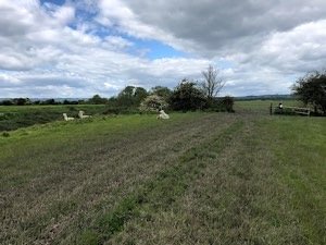
7. Continue through into the the next field and along the boundary with the pill still on your left. Follow the way until you meet the River Severn. Note the romantic beacons on the riverside and the less romantic Berkeley Power Station to your left (unless you’re my husband who is obsessed with nuclear power).
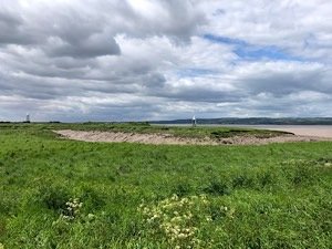
8. Also notice the driftwood on the banks of the Severn within metres of where you’re walking, showing just how high the tide comes up. With rising sea levels due to global warming, I wonder how savvy it is to be building a great big new town on an area so obviously at risk as here… 🤔
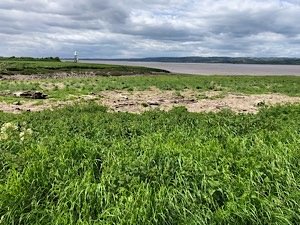
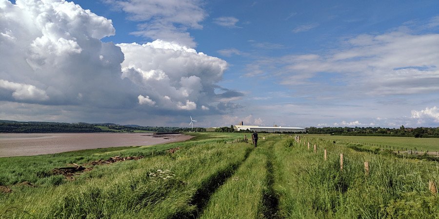
9. Bearing right along the riverbank, you will see Sharpness Dock’s piers and the wind turbine up ahead. Look to your right to see where there is now beautiful countryside that could soon be an enormous town.
Continue walking all the way up the river, looking all the time at your views. Remember that it will become a housing estate if you don’t join in responding to the council with your concerns about this proposed development.
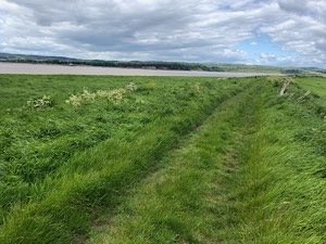
10. At the end of the footpath along the riverbank before reaching the piers, go through the gatepost and turn right. Walk with the houses on Severn Road on your left – or if fancy a nice place to rest, turn left for the picnic area.
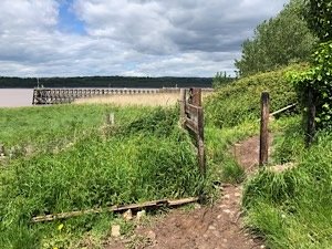
11. Walk up the road with the docks on your left and warehouses on your right, then you reach the roundabout. Cross carefully as lorries ply this road and there is no crossing or pavement up to the roundabout. Once you’ve crossed onto the pavement on the other side of the road, turn right
Walking with the docks behind, continue along the pavement down the bypass road until you reach a gap in the fence on your left – signposted Public Footpath Severn Way.
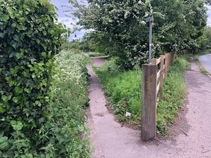
12. Follow the path down until you arrive at a kissing gate on your left to access the field. Unless you have you skateboard with you and fancy hurling some Fakie Noseblunt Stalls at a half pipe (all the skaters out there totally get this reference 🤟🏽), then turn left across the field instead of continuing along the path to the skate ramp.
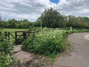
13. Through the field and you’re at your old friend the railway tracks again. Do that Stop, Look and Listen you know so well, then through the gate.
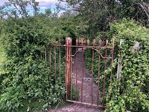
14. Continue down the path until you reach the end and you’re out on Oldminster Road. Cross, then turn left up Oldminster Road. Go past the park and all the way up the road until the it becomes much narrower (where it leads off down to the docks.
You’ll see the t-junction sign straight ahead and a road leading up to your right. Turn right here to follow the Old Coach Road.
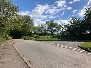
15. Keep walking along this really beautiful road, past Luggs Farm on your left and fields to your right. Just bear in mind as you’re walking that this whole area will be covered with housing. The road you are walking will service hundreds of the 5,000 homes being proposed here.
When I was walking to map this route, I found myself trying very hard not to imagine how absolutely awful it would be should it become an enormous housing estate because – quite honestly – I thought I’d burst out crying thinking about it.
As I passed a big old oak tree, the wind gusted for a few seconds and the tree’s boughs creaked and squeaked as it stretched out its branches. It’s so huge, it’s obviously really old. Honestly, as I looked up at the old guy, I was thinking that this tree – and so many hundreds like him – would be chopped down to make room for a new town that isn’t even needed or sensible. It did make me stop and, yes, I did actually cry. Here he is…
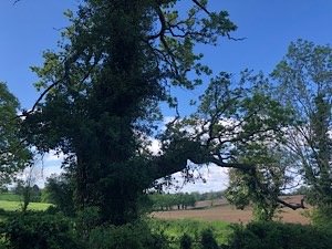
16. Breathtakingly gorgeous fields and countryside around Luggs Farm that will be bulldozed if this development goes ahead.
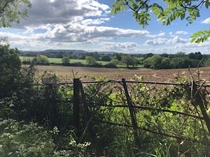
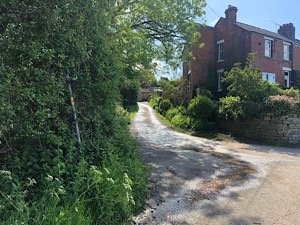
17. At the bottom of the road turn right following the signpost to Brookend. Continue walking until you reach the start of the terraced houses on your left. You’ll see a track running up to your left here – this is Lip Lane. Turn up to the left and follow this track.
For ease, the walk map is shown again here.
18. Keep walking straight. You will see a stile and gate to your right – they lead to the allotments. Keep walking past these and take the track to your left entering the field.
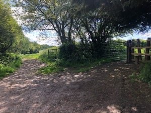
19. Continue walking along the field boundary and through the gate posts with the bridleway marker.
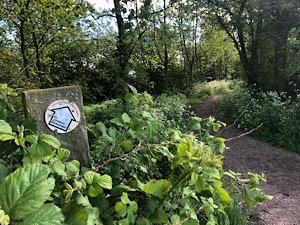
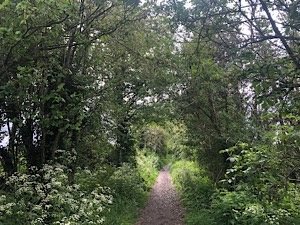
20. Walk down the tree tunnel path for about 300 yards. Look out for two small gates facing each other, one each side of the track.
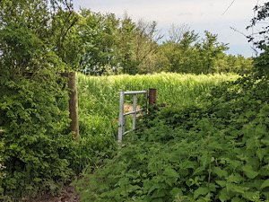
21. Take the right hand gate and go into a field.
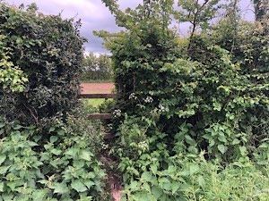
22. Once in the field the path forks. Take the right hand fork until you reach the hedgerow in front of you and look for a gap where you’ll see a stile.
23. Walk along the wide field boundary as it curves around to the left until you reach a red gate at the end.
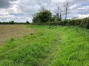
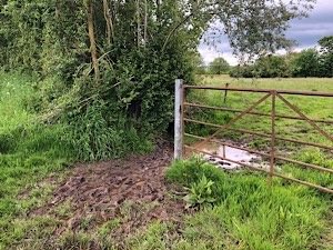
24. Once through the gate you will enter a meadow. There are two trodden paths in the field. Take the right fork going across the meadow. In the far corner of the field there is a stile.
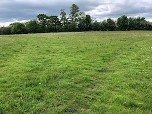
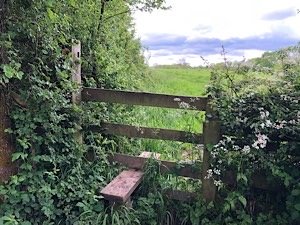
25. From here the path veers left. Follow the field boundary with the hedgerow on your left. You will see a farm building in the corner of the field.
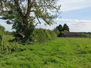
26. Continue until you get the farm at the end of the track. Head towards the farm and go through the propped up gate to the left of the wooden barn building.
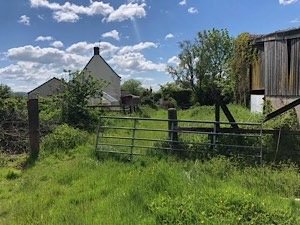
27. This path takes you down the driveway of the house to your left and down onto Halmore Lane. Cars speed down here and there are blind bends with no pavement – so be careful on this road.
Turn right down Halmore Road for about 50 yards and cross when you come to the whitewashed houses on the right hand side of the road. Opposite them you will see a gate and way through to the fields beyond with obvious footpath signs.
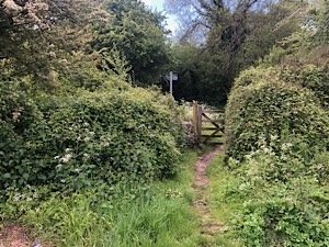
28. Here take the right hand footpath which skirts along the strip of woodland that separates the two fields. Keep walking with the woods on your left and along the field boundary. Passing through another field with this wood on your left, you will come out on a paved farm road.
Walk left up that road until you’re nearly at the farm. You will see the gate and stile to enter into the field on the right.
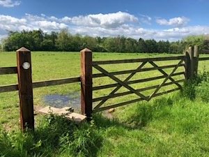
29. If there is a bull in the field, or even cows with calves and you have dogs – or for whatever reason you don’t want to cross this field – you can head further down the track to the farm. There you turn right down by the farm buildings and go into the field further down which usually only has one horse in it. From there you must head around to your right along the field boundary to find the chain stile where you would have exited the cow/bull field.
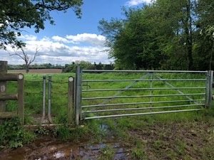
30. Once across the field with the chain stile behind you, bear to your right and follow the field boundary along around the fields with the woods on your right.
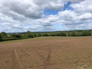
Technically you can walk diagonally through this field but it’s newly sown. (You’ll see the gantry over the railway tracks over the treetops where there is the gap in the hedgerow to get through.) So, following the field boundary and woods makes it easier anyway!
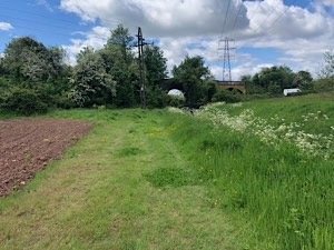
31. Once you have skirted the around the woods, keep heading down to the corner of the field where you will see the railway bridge. Also note the huge lakes that have amassed across these fields due to the rainfall and consider the sensibility of building a town on these fields.
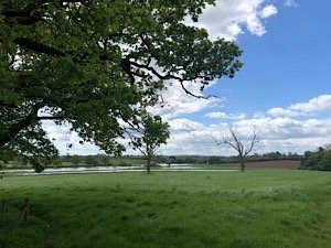
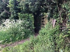
32. Turn to the right up the field and find the kissing gate on your right which takes you over the tracks and over to the old Berkeley Road station.
33. Walk out down the track that takes you past Station House on your right and out onto Station Road. Walk up the road, making sure you take in the expanse of views to your right that will all be turned into a new build town if we don’t respond to the final consultation.

34. Once you reach the Station Road/bypass roundabout, cross over and continue on to reach the start of your walk which was at the top of the footpath just opposite Cannon Park.
Phew, that was a walk! Well done you, I very much hope you enjoyed it!

